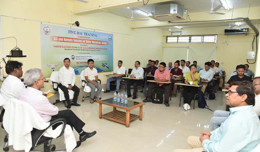
NEHARI conducts training on ‘GIS & remote sensing for water resource sector’

The North Eastern Hydraulic and Allied Research Institute (NEHARI), in collaboration with the National Institute of Hydrology (NIH), successfully concluded a five-day training workshop on “GIS & Remote Sensing for the Water Resource Sector” on Saturday.
The programme was inaugurated by NEHARI Director Dr Ranjit Deka, who stressed the critical role of modern technology in improving water resource management and emphasized the importance of GIS and remote sensing tools.
The workshop covered a wide range of topics, including the basics of remote sensing and GIS, open data sources for the water resource sector, and the use of Google Earth Engine. Participants engaged in hands-on training sessions that included GIS interface navigation, adding data layers and base maps, downloading datasets from sources like USGS Earth Explorer and BHOONIDHI, vector data creation through digitization, SAR data processing, riverbank migration analysis, and watershed delineation using DEM.
The sessions were led by experts from the National Institute of Hydrology (NIH), North Eastern Space Applications Centre (NESAC), and National Water Academy (NWA), Pune.
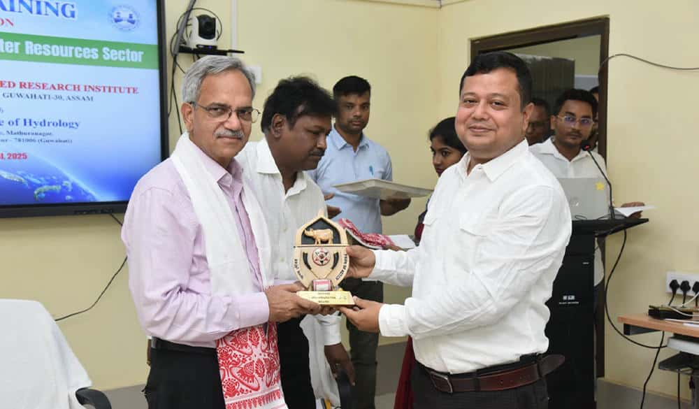
The training concluded with a valedictory session chaired by Dr. Ranbir Singh, IAS (Retd.), Chairman of the Brahmaputra Board. Dr. Deka summarized the workshop proceedings, and Dr. Singh, in his address, highlighted the direct impact of GIS and remote sensing on the performance of water management organizations.
23 participants from the Brahmaputra Board and the Water Resource Departments of various northeastern states, including Assam, Mizoram, Sikkim, West Bengal, Meghalaya, and the Gorkhaland Territorial Administration (GTA), were awarded certificates of successful completion.


Leave a Reply