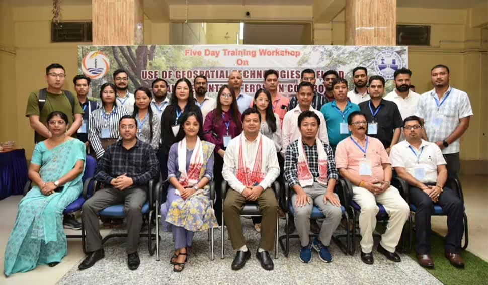
Workshop on use of geospatial technologies in flood management and erosion control

Under the leadership of Brahmaputra Board Chairman Ranbir Singh, the North Eastern Hydraulic and Allied Research Institute(NEHARI) in collaboration with the National Institute of Hydrology, North Eastern Regional Centre (NIH NERC) conducted a five-day training workshop on “Use of Geospatial Technologies in Flood Management And Erosion Control”, which concluded on Saturday.
Flooding is an annual phenomenon in the Brahmaputra basin. In recent years, due to the changing climate and encroachment on flood plains, the issue of flooding has been exacerbated. Along with flooding, due to unplanned land use and deforestation, the problem of riverbank line erosion is now becoming prominent causing loss of fertile soil and increased sediment load in the rivers causing water quality issues.
The training course was designed specifically to train the officials on the use of geospatial technology to monitor such problems of flood and erosion and to assist in the planning and execution of necessary interventions to reduce such issues and minimise losses.
The training workshop was inaugurated on August 20 by Ranjit Deka, Director, NEHARI.
In their inaugural address Dr Swapnali Barman, Scientist ‘D’ and Dr WR Singh, Scientist ‘C’, NIH emphasized on the advantages of using geospatial technologies in water resources. They informed the participants how geospatial technology acts as a bridge between different water resources problems and their solutions.
The scientists also encouraged the participants to use the technology in their day-to-day activities related to water resources and related problems.
The course has been tailored for junior-level officers of government departments related to the land and water resources sector serving in the Northeast.
This training workshop was designed to teach knowledge on the use of GIS in monitoring floods and soil erosion. 26 government officials from both state and central departments serving in the northeastern States of Assam, Meghalaya, Nagaland, Manipur and Mizoram have participated in the training workshop.
A total of 22 lectures, including afield lectures, were delivered by the scientists of NIH NERC, NESAC and NECTAR on various topics pertaining to the workshop.
Officials from NESAC Shillong shared their expertise and took a hands-on exercise for data collection using satellite-based products and conducted a hands-on exercise on SAR data processing using SNAP.
In a field trip data collection using aerial survey and its processing was demonstrated by an official from NECTAR.
The participants were also exposed to the latest technologies available for monitoring flood and erosion issues during the field visit.
Officials of NEHARI also demonstrated various lab facilities available in NEHARI to the participants being utilized for various works in the Brahmaputra basin.
During the valedictory programme, participants expressed their gratitude to the Brahmaputra Board for organizing the technical programme.
They further conveyed that the theoretical and practical knowledge gained from the workshop would aid them in carrying out flood and erosion management activities in their respective states and organizations

Leave a Reply